Innovative Right-of-way services
Gray Jay provides aerial patrols, ground inspections and site documentation for pipeline right-of-ways, crossings, and facilities. The work is carried out by the same crews that complete your cathodic protection surveys, and right-of-way aerial imagining can be mapped as a layer in PipeGuard - our pipeline management software.
Right-of-way services
Aerial patrols and corridor imagery
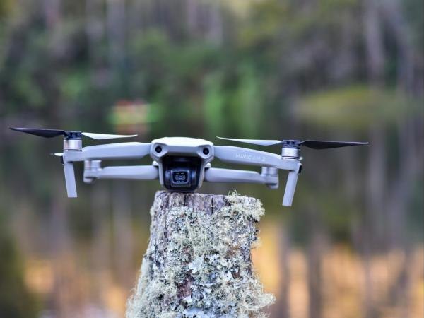
High-resolution drone imagery of pipeline corridors, crossings, transitions and facilities, captured on a set schedule or ahead of a survey, with safer access to difficult terrain.
Encroachment and ground disturbance
Identification of unauthorized activity, new structures and third-party work near the line, with current imagery and records to support crossing agreements and ground disturbance requests.
Erosion, exposure and vegetation
Assessment of washouts, slope movement, exposed pipe and vegetation encroachment, with locations flagged for a ground visit or remediation.
Access and site documentation
Remote assessment of access to mainline valves, risers and test stations, along with photo records of trench lines and isolation joints to support deficiency review and remediation.
Terrain and site models
Digital elevation and terrain mapping for CP layout planning, and 3D site models created with photogrammetry. LiDAR capture will be available soon.
Results in PipeGuard
For clients using PipeGuard, inspection findings can be loaded each year and mapped against the line they affect, and findings such as exposure, slope movement and washouts then feed directly into the geohazard inputs used by the risk engine.
About PipeGuardWhy aerial inspection
Aerial data improves the quality, speed and safety of our inspections, and gives each cathodic protection program a better-informed starting point.
Survey routes planned from reconnaissance
Crews arrive with a clear understanding of site access, terrain and test station condition, so time in the field is spent collecting data.
Fewer people in hazardous terrain
River crossings, muskeg and steep slopes are assessed from the air first, and ground visits are scheduled where the imagery shows they are needed.
Findings feed the risk score
For clients using PipeGuard, findings that affect a line’s risk, such as exposure, slope movement, washouts and crossings, can update its geohazard and location inputs, so the risk score reflects current corridor conditions.
What you receive
Georeferenced imagery
Orthomosaics and site photos linked to each licence, line and test point, delivered in the layers and projections your GIS team already uses.
Findings log
A record of each encroachment, exposure or access issue, with its location, severity, photos and a recommended next step.
Patrol records
A dated patrol history for each line, demonstrating surveillance frequency during audits and regulatory reviews.
Mapped in PipeGuard
For clients using PipeGuard, each finding can be placed on the map against the line it affects, with geohazard, crossing and sensitive-area inputs updated so the risk score reflects current conditions.